Vancouver's Hour-By-Hour Weather Forecast As 'Hazardous' Winter Snowstorm Hits
It's a day of two halves out west today.
A huge snowstorm is set to dump up to 20 centimetres of snow on Metro Vancouver.
Environment Canada has a string of weather warnings in effect, warning of freezing rain, blowing snow and hazardous conditions.
Most of Metro Vancouver already has a covering of snow after recent weather events, but the latest storm is expected to arrive on Wednesday evening overnight into Thursday.
The weather warning adds, "Consider postponing non-essential travel until conditions improve. Rapidly accumulating snow could make travel difficult over some locations. Surfaces such as highways, roads, walkways and parking lots will become icy, slippery and hazardous."
Locations affected by this storm are Metro Vancouver, Fraser Valley, Howe Sound and Sea-to-Sky Highway, where the latter areas could see snow totals reach up to 30 centimetres.
So, when will the storm hit?
Here is an hour-by-hour forecast, according to The Weather Network (subject to change through the day).
9 a.m. to 1 p.m.: 1 C, feels like -3 C, mainly cloudy.
2 to 4 p.m.: 0 C, feels like -3 C, mainly cloudy.
5 p.m.: 0 C, feels like -3 C, scattered flurries.
6 p.m.: -1 C, feels like -5 C, scattered flurries.
7 to 9 p.m.: -1 C, feels like -5 C, light snow begins falling at 1 centimetre per hour.
10 to 11 p.m.: -1 C, feels like -6 C, snow falling at between 1 and 3 centimetres per hour.
Thursday, 12 to 4 a.m.: 0 C, feels like -4 C, snow falling at between 1 and 3 centimetres per hour.
Thursday, 5 to 8 a.m.: 0 C, feels like -4 C, snow falling at 1 centimetre per hour.
Thursday, 9 a.m.: 1 C, feels like -2 C, light snow tapering off and transitioning to rain.
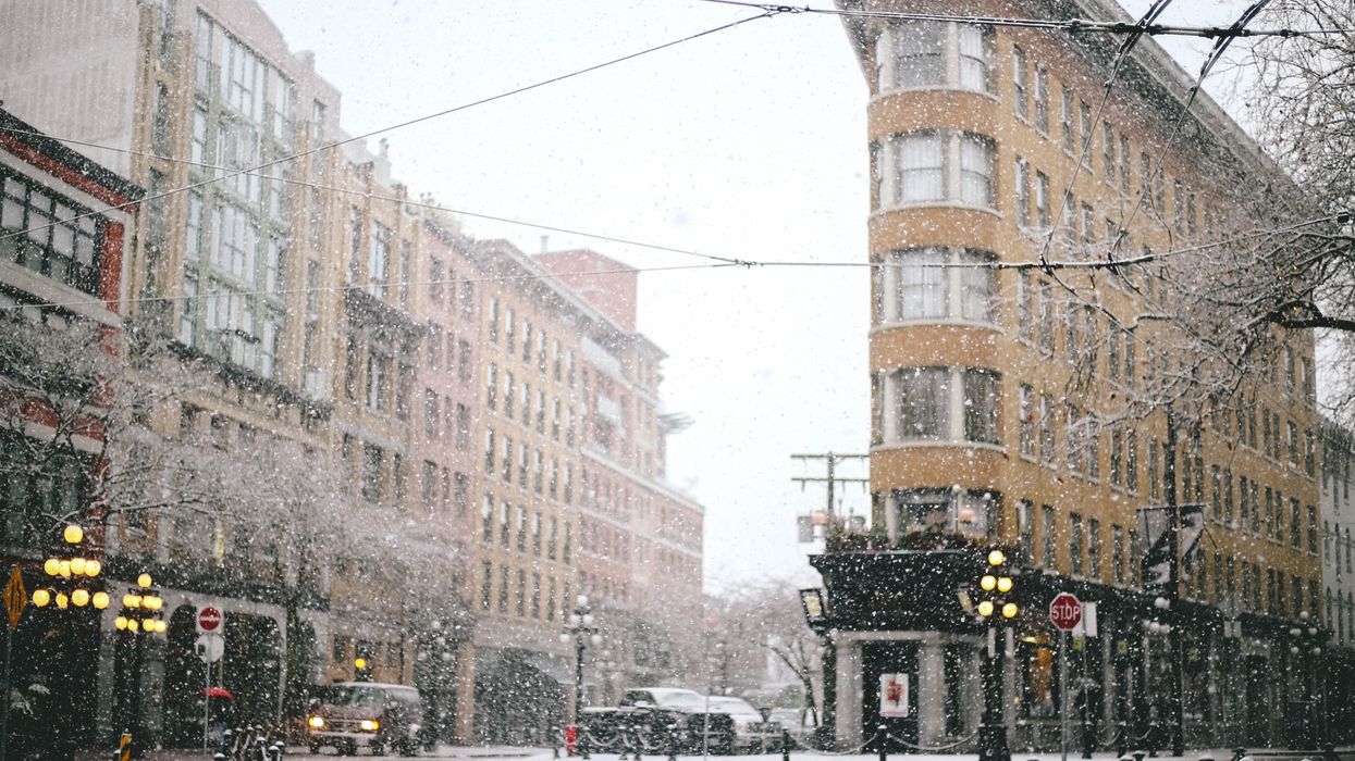
This article's cover image was used for illustrative purposes only.