Ontario's Weather Is About To Get Super Wintry & Some Areas Could See Up To 10 cm of Snow
You might even have to break out the shovel.
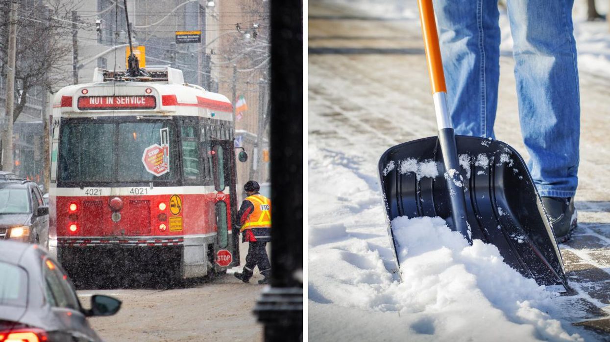
A TTC streetcar with flurries. Right: A black shovel in the snow.
Easter Monday is typically a spring celebration, but the Ontario weather forecast doesn't seem to be aware of that.
Starting on Monday, April 18, "A complicated and late-season wintry storm" will make travel across parts of Ontario and Quebec a little difficult, according to The Weather Network.
"A tricky storm track and delicate temperature gradient will mean the difference between a dreary rain and a shovelable snow for just about everyone between Windsor and Quebec City," warns the agency.
From Monday afternoon, the system will bring increasing clouds and some precipitation across the region.
TWN warns that lower elevations will see a mix of rain and snow with a chance for a bit of snow accumulation, but higher elevation areas, like the Niagara Escarpment, will see more significant accumulations with up to 10 centimetres of pile-up possible.
"The most significant commute impacts across the Greater Toronto Area will likely be Monday evening, with wet roads and the risk for icy ramps and overpasses," says Michael Carter, a meteorologist at TWN.
"The snow that will stick will be more likely for north and westbound travellers moving into the higher elevations."
Environment and Climate Change Canada has issued a winter weather travel advisory for some areas as it warns that the threat of significantly reduced visibility on the road is possible.
"Drivers are urged to adjust to the changing road conditions, and to take extra care when walking or driving in affected areas," the government agency advises.
Although the snow will continue into Tuesday across southern Ontario, it should be lighter and should subside in the early hours of the day.
If the snowy weather is getting you down, there are better conditions coming over the next few months.
A new extended forecast from the Farmers' Almanac says Ontario is expected to have a warm, wet summer.
Stay safe, everyone!
This article's cover image was used for illustrative purposes only.
- Canada's Weather Is Being Impacted By A Typhoon & Spring Will ... ›
- Ontario's Spring Forecast Just Dropped & It's Going To Be Chilly AF ... ›
- Canada's Summer Forecast Is Out & It Will Be A 'Sizzling' Season ... ›
- Ontario's Weather Forecast Predicts Up To 10 cm Of Snow Today & Driving Will Be Messy AF - Narcity ›