Southern Ontario Is Getting Hit With Nasty Thunderstorms Today & It’s Going To Be Windy
Parts of the area could see wind guts of up to 100km/h!
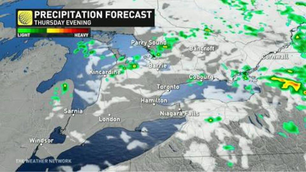
It's going to be wet, cold and messy today, with severe thunderstorm warnings spanning across Southern Ontario.
A severe thunderstorm warning was issued this morning in the southwest, with "a cluster of storms near Sarnia continuing to move eastwards," according to The Weather Network.
Ontarians in affected areas can expect to see heavy downpours, with rainfall between 30-50 millimetres and possibly damaging, strong winds reaching 90km/h to over 100km/h.
"We're seeing an explosive cluster of storms drifting across the Midwest U.S., with frequent lightning and damaging winds likely as they cross over into southwestern Ontario this morning," said Jessie Uppal, a meteorologist at The Weather Network.
Environment Canada said in a weather warning that heavy downpours could cause flash floods and even pooling water on the roads.
As of Thursday morning, a severe thunderstorm watch has been put in place for Elgin, London-Middlesex, Sarnia-Lambton and Windsor-Essex-Chatham-Kent.*
After the storm passes, temperatures are expected to drop below seasonal, so don't expect hot sunny days for the long weekend.