Ontario's Weather Forecast Is Calling For A Snow 'Threat' This Week So Get Your Shovels Ready
Chilly temps are rolling in! ❄️
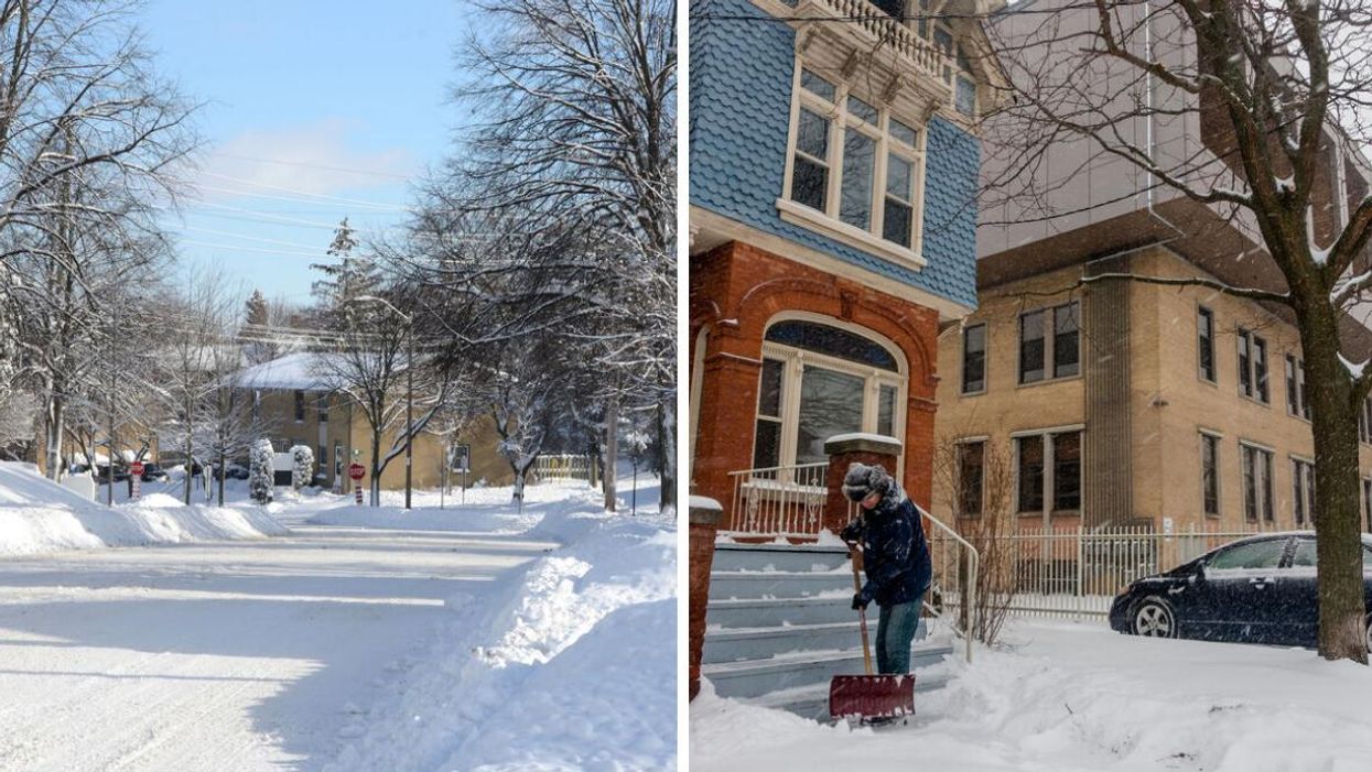
A snowy street in Ontario. Right: Someone shovelling snow in Toronto.
A round of unseasonably cold temperatures will push its way into Ontario's weather forecast on Monday evening, leaving several regions at risk for heavy snowfall.
According to The Weather Network (TWN), a burst of arctic air will send most of the province plummeting into the single digits this week, with things expected to be winter-level-frigid through Thursday. As a result, several regions are under "threat for frost and snow."
Northern sections of the province are already seeing their temperatures plunge, with areas like Cochrane, Kapuskasing and Geraldton all struggling to push daytime highs above freezing on Monday.
"The upcoming bout of cold air is more like what you'd expect to see in November than the middle of October," TWN reported. "Daytime highs will be five to eight degrees below seasonal with overnight lows will hovering near 0°C."
Experts say conditions will be cold enough to turn precipitation into wet snow through the north. Spots like Sudbury, Timmins and Chapleau are among those at significant risk for accumulation.
Environment Canada (EC) has issued a winter weather advisory for the latter, warning drivers to expect reduced visibility in heavy snow, with 5 to 15 centimetres expected to arrive overnight on Monday.
Motorists should expect hazardous winter driving conditions and adjust travel plans accordingly," EC warns. "Take extra care when walking or driving in affected areas. If visibility is reduced while driving, turn on your lights and maintain a safe following distance. Visibility may be suddenly reduced at times in heavy snow."
Some higher elevation areas of southern Ontario, such as the Dundalk Highlands, will also see rounds of lake effect showers and flurries through mid-week.
In conclusion, you'll want to bundle up like it's November this week because it's definitely going to feel like it.
This article's cover image was used for illustrative purposes only.