BC's Weather Forecast Calls For Up To 25 cm Of Snow & Here's When To Bundle Up
Get out those snow boots! ❄️
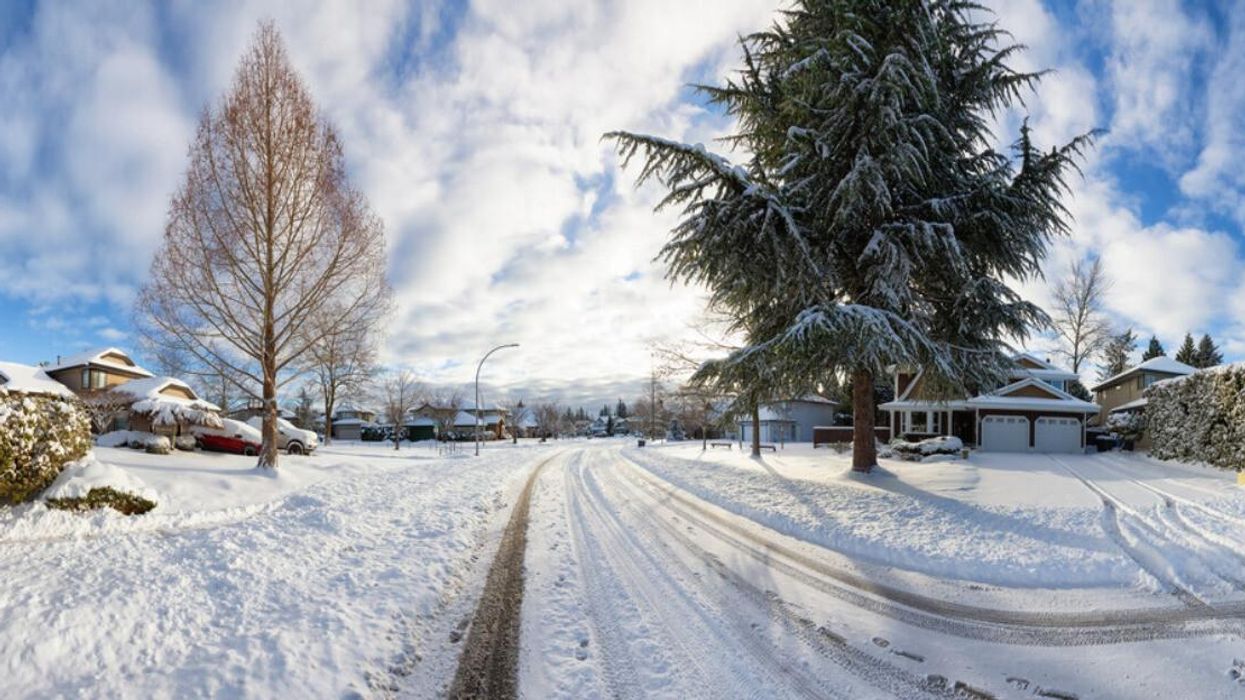
Snow in a residential area.
Multiple weather alerts have been issued across B.C. due to snowfall, with some places getting up to 25 centimetres of snow on Thursday.
These snowfall warnings from Environment Canada are in effect in the morning, throughout the day and into the night on December 8.
Areas that could be affected by the snow include the inland and coastal sections of Central Coast, Elk Valley, the Fraser Valley, Kinbasket, Kootenay Lake, Boundary, North Columbia, West Kootenay, Howe Sound and Whistler.
Both the Kootenay Lake region, West Kootenay region and Boundary region of B.C. could see up to 10 to 25 centimetres of snow throughout today and tonight.
Kinbasket and the North Columbia region of B.C. can see up to 25 centimetres of snowfall starting on Thursday morning and getting heavier into the night.
The inland and coastal sections of the Central Coast B.C. could see 10 to 15 centimetres of snow. Elk Valley is also expected to see heavy snowfall with up to 15 centimetres Thursday night.
Other parts of B.C. are expected to get a sprinkle of snow as well. The Fraser Valley could see anything from 5 to 10 centimetres this morning. Both Howe Sound and Whistler is expected to see 10 centimetres of snowfall throughout the day.
"Be prepared to adjust your driving with changing road conditions. Rapidly accumulating snow could make travel difficult over some locations," according to Environment Canada.
"Visibility may be suddenly reduced at times in heavy snow," it added.