Rare April Snowfall Warning Issued For Metro Vancouver As 'Rapidly Accumulating' Snow Hits
Weather forecasters say it'll be "an interesting day."
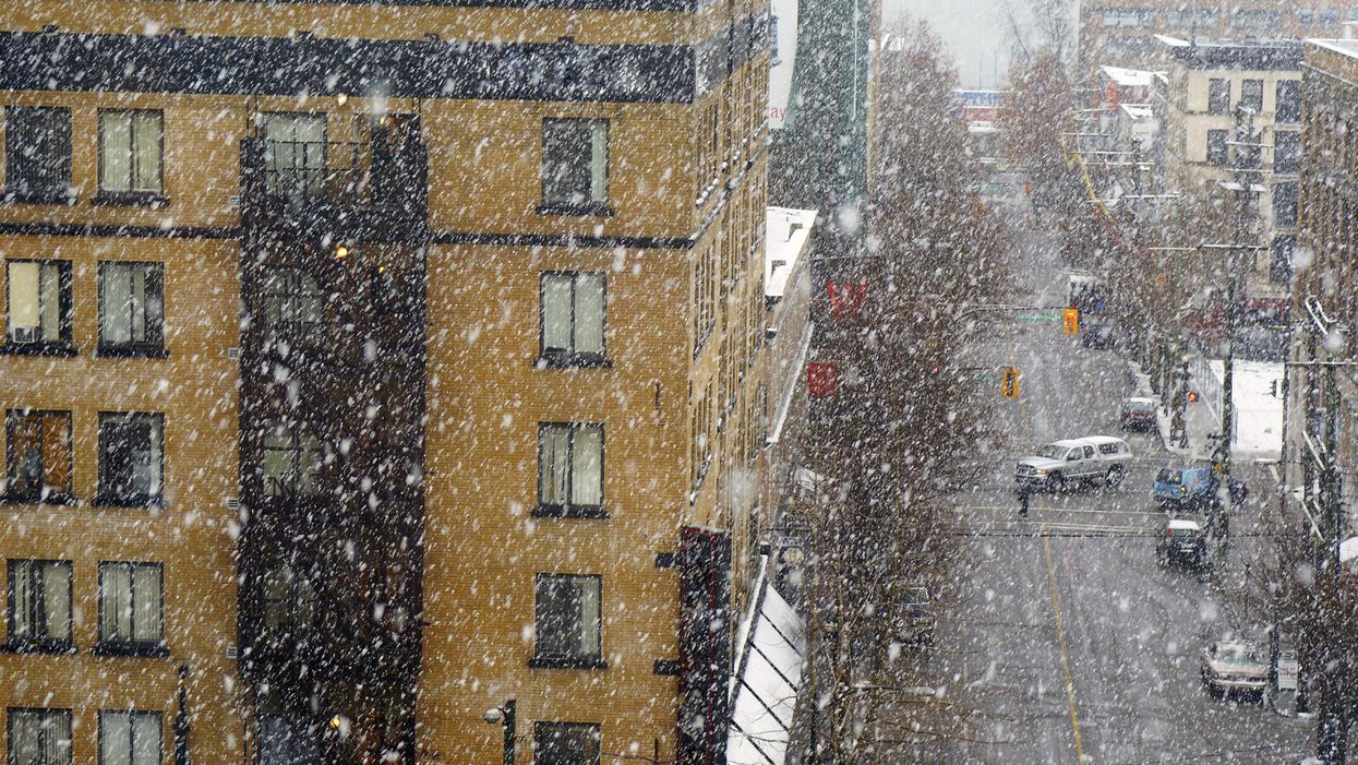
Snowstorm in downtown Vancouver near Pender and Abbott streets.
A rare April snowfall warning has been issued for Metro Vancouver as "rapidly accumulating" snow is predicted to hit some areas.
Bobby Sekhon, a meteorologist with Environment Canada, told Narcity last week that the last time there was "measurable snowfall" — at least 0.2 cm — at the Vancouver International Airport in April was on April 19, 2008.
Environment Canada's warning is in effect for Tuesday with the worst of the snowfall in areas in the northeast, including Coquitlam and Maple Ridge.
However, drivers on the morning commute are also being warned to expect a "sudden reduction in visibility" due to the approaching snowfall.
The warning adds, "The south coast remains under the influence of a cold and unstable airmass. A low pressure system offshore will draw in moisture resulting in convective flurries similar to Sunday's weather across the Lower Mainland. While wet snow is possible even down to sea level, the higher elevations are more likely to see accumulating snow."
"The snowfall accumulation will be highly variable and dependent on precipitation rate, and surface and air temperature. Current forecast guidance suggests the potential for near 5 cm of snow."
Environment Canada has told people to allow extra time for morning commutes and said that travel delays are possible.
It added, "Be prepared to adjust your driving with changing road conditions. Rapidly accumulating snow could make travel difficult over some locations. Visibility may be suddenly reduced at times in heavy snow. If visibility is reduced while driving, turn on your lights and maintain a safe following distance."
The Weather Network's Tyler Hamilton described Tuesday as "an interesting weather day."
The warning is also in place for parts of East Vancouver Island — Courtenay to Campbell River — with a localized 5 centimetres of snow possible.
It adds, "Areas near the water such as Comox will see the wet snow change to rain near noon as the southeast winds off the Strait of Georgia strengthen and raise temperatures. However, areas away from the water and inland, including Campbell River will likely see snow continue into the afternoon with snowfall accumulations near 5 cm."
This article's cover image was used for illustrative purposes only.