A Winter Storm Bringing Up To 30 cm Of Snow Is Hitting BC Today & Thousands Have Lost Power
"Localized flooding is possible."
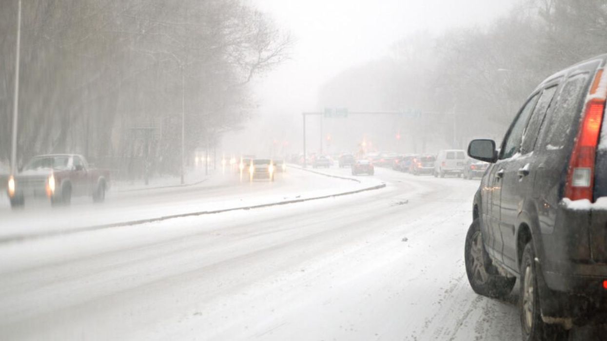
Highway during a snowstorm.
Don't get out your summer wardrobe just yet, because B.C. is being hit by a powerful snowstorm throughout Monday and into Tuesday.
Many people in southern B.C. have already lost power, and the storm is expected to bring up to 30 cm of snow in some areas.
Lower elevations are going to be getting lots of rain, and flooding is possible in some places.
The Weather Network said that strong wind gusts are going to continue into Monday afternoon — in addition to heavy rainfall and snow.
There are multiple winter storm warnings in effect from Environment Canada, including around Highway 3 between Paulson Summit and Kootenay Pass and on the Coquihalla Highway from Hope to Merrit.
TWN said that the total rainfall will be the heaviest along the western coast of Vancouver Island, which is expected to get over 100 mm throughout the day.
The Lower Mainland area is expected to get anywhere from 20 to 75 mm depending on the area, and "localized flooding is possible."
The heavy winds this morning led to about 15,000 people losing power, and TWN said that more outages might happen as the stormy weather continues.
By Monday evening, the gusty winds are expected to decrease.
Those in higher elevations are dealing with snow instead of rain, with up to 30 cm expected during the storm. Travel is expected to be impacted.
The snow is going to be heaviest on Monday and taper off by Tuesday evening.
In addition to flood risks, TWN warned that "the threat of new precipitation and gusty winds will increase the avalanche risk."
It added that Avalanche Canada's danger rating "has been elevated to moderate or high across many of B.C.'s mountain ranges on Monday."
People in Vancouver can hold out hope for spring weather though, as Wednesday and Thursday are forecasted to be sunny.
This article's cover image was used for illustrative purposes only.