Ontario Storms Just Won't Stop & Some Spots Could Get Snow As Early As Next Week
Winter could come early to parts of Ontario next week.
Another round of Ontario storms is expected to hit northwestern parts of the province today with a risk for strong winds and large hail, and residents are being warned to keep an eye out for alerts.
According to The Weather Network (TWN), the regions most likely to receive severe weather on Thursday evening include Thunder Bay, Fort Frances and Upsala, which all face a chance of rotating storms.
"That means storms that do form have a chance of some rotation, but in any case, people that do receive severe thunderstorms Thursday should prepare for strong winds and large hail," says TWN.
Thankfully, the province's barrage of thunderstorms will dissipate by the weekend when a warming trend sets in, giving us a chance to enjoy some sunny weather before the end of summer.
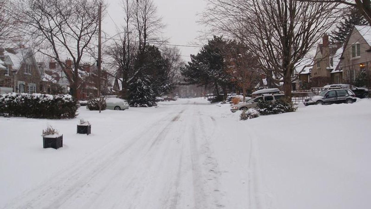
But you might want to start digging out your shovels, as parts of the province are expected to get hit with some snow as early next week.
There is the potential for a "significant fall storm" early to mid next week, with a sudden dip in temperature bringing a chance for some snow in the far northwest.
- Wild Storms Are Rolling Through Ontario RN & The Videos Are ... ›
- Ontario Storms Are Going To Turn Hectic This Week & Even More ... ›
- Parts Of Ontario Are Getting Absolutely Hammered With Rain & It's Not Over Yet (PHOTOS) - Narcity ›
- Ontario's Wind Storm Ripped Out Trees Last Weekend & The Photos Are Something Else - Narcity ›
- Ontario's Weather Was Hit By A Round Of Sneaky Thunderstorms Yesterday & More Are Coming - Narcity ›
- Even More Ontario Storms Are Hitting The Province Today & It Will Be Chaotic - Narcity ›