Ontario's Weather Forecast Predicts Nastiest Pattern In Weeks & Here's Where It'll Snow
You'll need more than an umbrella in these areas.
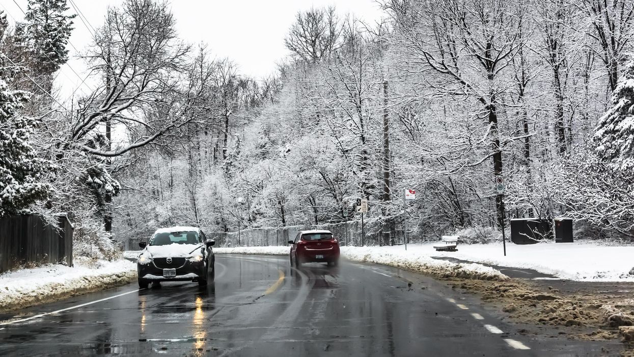
Winter weather driving in Ontario.
Snow is once again creeping into Ontario's weather forecast as the province prepares to face its most turbulent conditions in weeks.
According to The Weather Network (TWN), an "expansive area of high pressure" that has prevented most storms from tracking into the province in October will open the floodgates late this week.
Heavy rains will sweep across parts of Ontario as "a strong southerly flow" soaks up moisture from the Gulf Stream.
"This could be some of the most turbulent weather that this region has seen in several weeks," TWN reports.
At the same time, a cold front pushing through the Prairies could bring gusty winds and chilly air over northwestern parts of the province, causing most places to face the possibility of snow this week.
The low-pressure system responsible for the winterlike temperatures will stall over Hudson Bay at the end of the workweek, making things bitterly cold for those living up north.
"This setup will allow for accumulating snow to spread over much of Manitoba by Thursday and Friday, with snow even creeping into northwestern Ontario," TWN adds.
Northern areas such as Peawanuck and Fort Hope are both forecasted to see 1 centimetre of snow or less, with the latter expected to see the white stuff by as early as Thursday.
What will winter look like in Ontario?
The Old Farmer's Almanac 2023 Canadian Edition predicts a colder and snowier winter than usual for Ontario, thanks to low sunspot activity and a weak El Niño.
Conditions such as rain, sleet and hail will plague regions more than average this year, with the province's coldest periods slated for mid-to-late November, early and late December, and January.
This article's cover image was used for illustrative purposes only.