Ontario's Winter Forecast Shows It's Getting Cold Again & Here's When Temperatures Will Drop
It's not going to stay mild forever.
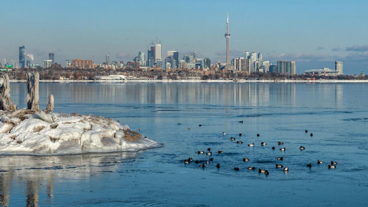
Toronto winter skyline.
If you're someone who wants their winters cold and their summers hot, you've likely been thrown off by Ontario's weather as of late. It's no secret that things have been unseasonably warm lately, with the province's rainy conditions more representative of spring than early January, but that could all change next week.
According to The Weather Network (TWN), long-range forecasts predict weather aboveseasonal temperatures for southern cities such as Toronto to last over two weeks. However, there's a chance for things to return to more typical conditions by the middle of next week.
"Mid-to-late next week might be our next chance to see temperatures return closer to seasonal, at least, which for Toronto is around -1°C to -2°C for this time of year," TWN reports. "Some forecast weather models are hinting that even chillier temperatures may arrive, but forecasters are skeptical this early out."
So, what's blocking more wintry conditions from dominating? TWN meteorologists Kelly Sonnenburg and Rachel Modestino report that the event is due to a polar vortex, which has trapped the "lobe of the coldest air" somewhere over Siberia.
"This is where the majority of the coldest air in the Northern Hemisphere is currently locked, and looks to stay put for at least the next seven to 10 days," the experts report.
The Old Farmer's Almanac's long-term forecast appears to support the TWN's assessment slating that northern parts of the province will be mostly sunny through January 9 to 17 with the south expected to record a period of cold.
This article's cover image was used for illustrative purposes only.