The Weather In Ontario Is Cooling Down This Week & Tomorrow Will Be Full Of Thunderstorms
Wednesday will be a mess.
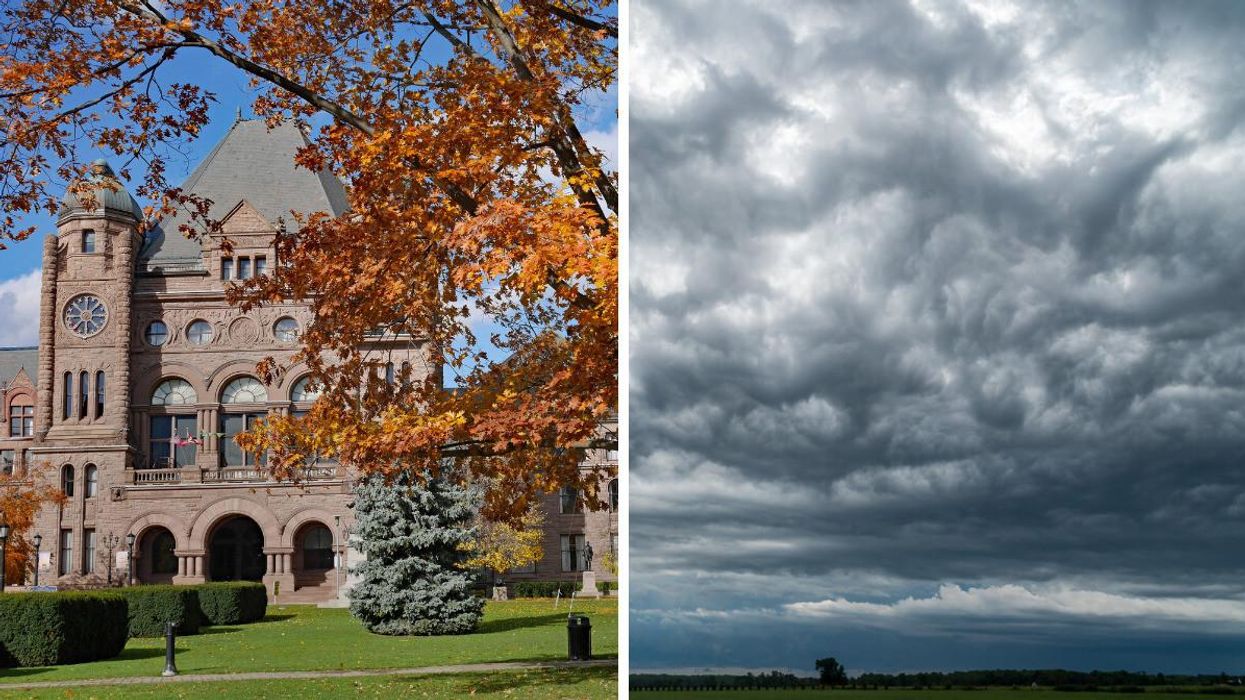
Queen's Park in the fall. Right: A storm cloud over Ontario
If you're a homebody who cherishes rainy days and chilly temperatures, then Ontario's weather forecast will be everything you want this week.
Summer-stans, on the other hand, will be not so stoked.
According to The Weather Network (TWN), the province's last full day of summer will be a soaker as widespread thunderstorms prepare to wreak havoc on Wednesday. Patio drinkers, beware.
Then boom! Fall vibes immediately. Temperatures will drop off significantly on Thursday, giving residents their first real taste of autumn.
If you were hoping to squeeze every last Instagram-worthy moment out of summer this year, you'll want to hit the streets on Tuesday, when the sun will still be beaming and temps hang around the mid-20s.
To be fair, Wednesday will still be muggy enough to justify shorts and a T-shirt, but there's a possibility of strong winds, hail and heavy rain that will keep most residents from enjoying the last days of the season.
The humidity will be in sharp contrast to Thursday's afternoon forecast, which will see daytime highs struggle to reach the upper teens.
"This will be the coolest stretch across the region since the May long weekend," TWN reports.
You'll want to pack some warm clothes if you're trying for one last trek to the cottage country this weekend, as most spots will be floating in the lower teens.
But, wait! There's more.
"There will also be a risk for waterspouts over the Great Lakes on Thursday, along with lake-effect showers downwind of the lakes and widespread frost outside of the urban areas," the report concludes.