Canada's Weather Is Going Through 'A Drastic Pattern Change' That's Bringing A Polar Vortex
Get ready for "more snowfall and chilly temperatures." 😬
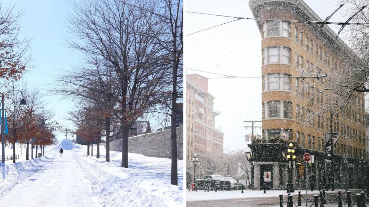
Person walking on a snow-covered path in Montreal. Right: Snow falling in Vancouver.
Canada's weather is soon going to be influenced by a polar vortex that's expected to bring "more snowfall and chilly temperatures" to many parts of the country.
According to The Weather Network's forecast for Canada, "a drastic pattern change" is on the way to finish off November and lead the country into December.
The Pacific flow that's been dominating will end, and then a polar vortex will "gradually" sink further south, spreading across Canada.
If you were hoping this would be a brief shot of chilly air, that's not the case because two upper ridges will keep the cold wave through to early December.
That means "more snowfall and chilly temperatures" are expected across most of the country.
The core of this polar vortex is currently over eastern Siberia, and frigid arctic air will sweep down over Alaska thanks to one of those ridges.
Also, there are signs of a blocking pattern over eastern Greenland, and that ridge is helping to bring the cold anomaly into Canada and keep it there.
According to The Weather Network, the coldest daytime highs over the next 10 days are forecast to be -25 C in Yellowknife, -23 C in Arviat, -15 C in Edmonton, -7 C in Kelowna, -18 C in Saskatoon and -12 C in Winnipeg.
However, it's expected that temperatures will end up being even colder than that!
This pattern change is setting up a boundary for stormy weather to come up from the U.S. into eastern parts of the country, which could include snow, rain and mixes.
It's even possible for milder warmth to briefly surge into Ontario and Quebec later next week.
What is Canada's winter weather forecast?
The Farmers' Almanac winter forecast for Canada is calling for cold temperatures and intense storms across the country.
Temperatures of -40 C are expected in eastern parts of the country in January, and up to 60 centimetres of snow could come down in Ontario, Quebec and Atlantic Canada in February.
According to the Old Farmer's Almanac, Canada's winter forecast includes "surprise shots of extra-deep cold" and major snowstorms in the east.
The Weather Network's winter forecast predicted a major pattern shift that'll bring widespread colder-than-normal temperatures to Canada and "a quicker start to winter" than usual!
This article's cover image was used for illustrative purposes only.
- 6 TikToks About Winter In Canada That Have Me Terrified To Experience It For The First Time ›
- Canada's Christmas Forecast Is Out Now & So Much Snow Is Expected Across The Country ›
- Canada's Winter Weather Records Include The Biggest Single-Day Snowfall & -91 C Wind Chill ›
- Canada's New Winter Forecast Predicts A 'Frigid' Start To The Season Thanks To A Polar Vortex - Narcity ›