Ontario's Weather Forecast Says Stormy Conditions Could Bring Snow & Freezing Rain This Week
Bundle up! ❄️
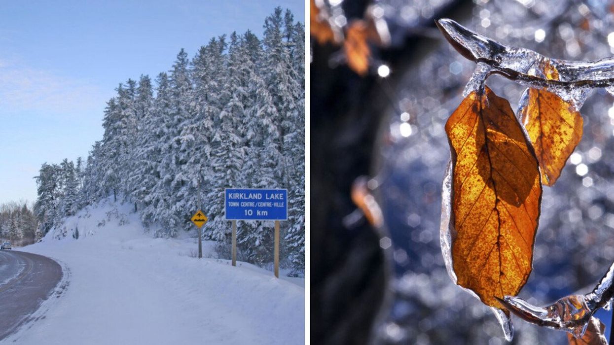
Snow in northern Ontario. Right: Leaves in Ontario after freezing rain.
Brace yourself, Ontario! According to a new forecast, two moving weather systems could bring in a mix of wintry precipitation this week.
Ontario's weather forecast says the "impactful" systems will bring "foul" weather including snow and freezing rain to parts of the province.
Two weather systems are moving into Ontario this week, according to The Weather Network, with the first being a "troublesome" clipper system, also called an Alberta clipper, which is a low-pressure area usually accompanied by light snow, strong winds, and colder temperatures.
According to TWN, this system arrived late Sunday night in the province, bringing a swath of heavy snow to northern communities.
Snowfall warnings were issued by Environment Canada for areas including Timmins, Sioux Lookout and Kapuskasing, which could see heavy snowfall of up to 15 centimetres.
Southern regions, however, will be a bit warmer, and see rain rather than snow throughout Monday.
The next system will arrive late Wednesday into Thursday, creating a "complex storm system."
A Colorado low (aka a low-pressure system that can produce blizzards and hazardous winter weather), will arrive in the Great Lakes region on Thursday along with the clipper system, says TWN.
How the systems interact with each other will determine what Ontario's weather looks like, especially if one system dominates over the other, the weather outlet says.
Either way it plays out, forecasters say it could be a "more impactful snow event" in northern regions of the province, while Central Ontario could potentially see "prolonged freezing rain."
The current forecast shows regions north of Parry Sound likely to see the snow, while Kingston and areas north of Barrie could end up seeing freezing rain.
While many regions are in for some messy wintry weather, according to the current forecast, it looks like the GTA could be mostly in the clear.
"It doesn't look like a winter weather event for the Greater Toronto Area right now, but forecasters will closely monitor the southern extent of snow and freezing rain to see how close it gets to the region," says TWN.
However, with temperatures forecast to fall throughout the week to low single digits, you'll still want to bundle up!
This article's cover image was used for illustrative purposes only.