Ontario's Weather Will Be Dominated By A 'Snow Machine' & Over 20 cm Is Forecast For Some Spots
Dangerous travel conditions are expected for parts of southern Ontario this weekend.
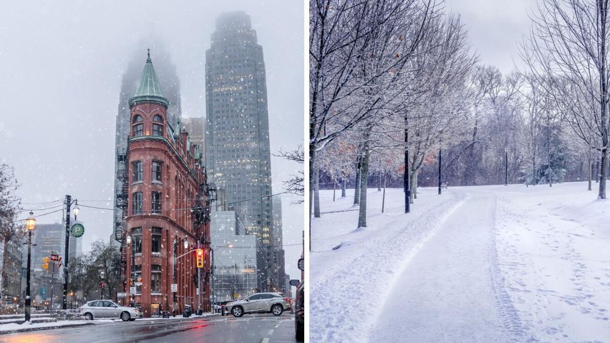
Snow falling in downtown Toronto. Right: Snow covered path and trees in Ontario.
Ontario's weather is taking a turn from summer-like warmth to frosty winter conditions thanks to a "lake-effect snow machine" and some spots could get more than 20 centimetres of snow!
The Weather Network has updated the forecast for southern Ontario this weekend going into next week as cold and snow move in, creating dangerous travel conditions.
Some of the coldest air of the season is expected to settle over the Great Lakes through to early next week along with the first multiday lake-effect snow squalls of the season.
Traffic will be impacted since visibility will be "significantly" reduced by blowing snow from strong winds.
Conditions will become much colder on Saturday, November 12, "with flurries and lake-effect snow squalls [developing in the evening] southeast of Lake Huron and Georgian Bay."
Then, by the morning of Sunday, November 13, the "lake-effect snow machine" will turn on because of steady northwesterly winds blowing over relatively warm lake waters.
The heaviest snow from the lake-effect bands is expected to fall early on Sunday morning and continue into the afternoon.
It's expected that some parts of southern Ontario near Lake Huron and Georgian Bay could get 10 centimetres to more than 20 centimetres of snow.
The hardest hit spots are forecast to be Collingwood, Barrie, Shelburne, Goderich, Grand Bend, London and surrounding areas.
Some of the snow squalls could be powerful enough to bring flurries to parts of the Greater Toronto Area but with no accumulation!
After the weekend, widespread colder-than-seasonal conditions are set to dominate thanks to arctic air "plunging" south and bringing "unusually cold weather" that's more typical of early December.
The Weather Network has forecast that those cold temperatures should bring even more lake-effect snow to areas east and southeast of the Great Lakes starting on Wednesday, November 16.
Also, more snow squalls are expected to move into the region next weekend with "impressive" localized snow totals.
Get the shovels out, folks!
This article's cover image was used for illustrative purposes only.