A Special Weather Statement Was Issued For Ontario Today & Here's What You Need To Watch For
Not the day to take cute foliage pics.
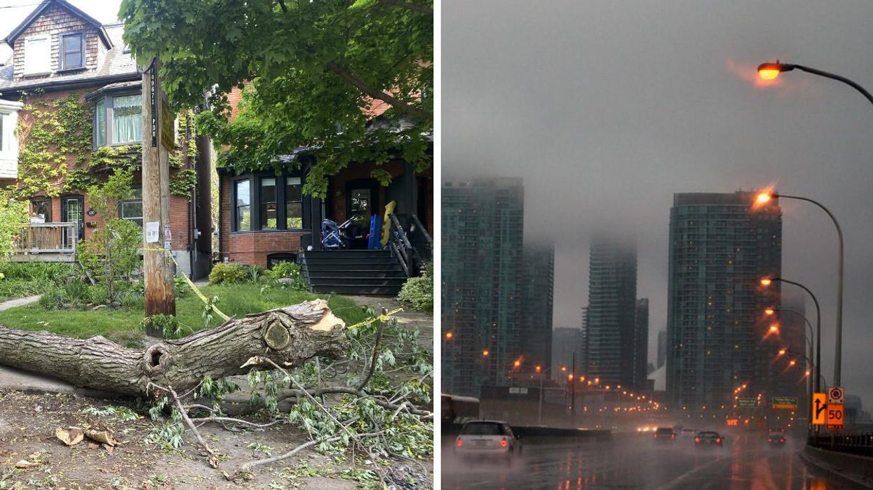
A downed tree. Right: Toronto in the rain.
Environment Canada (EC) issued weather alerts for several parts of Ontario on Wednesday morning as the province braces itself for gusty winds and thunderstorms.
The special weather statements warn that wind gusts of up to 90km/h or higher could cause widespread damage and power outages throughout the day for at least 30 regions, including Toronto, Windsor, Waterloo and Parry Sound.
Additional wind warnings have also been issued for the Bruce, Huron, and Manitoulin regions.
"Gusty winds can damage soft shelters, tents and awnings at outdoor events," EC warns. "Loose objects may be tossed by the wind and cause injury or damage. High winds may result in power outages and fallen tree branches."
The nasty weather is the result of a pattern of strong winds developing ahead of a cold front, and those gusts won't ease off until this evening when the cold air mass moves out of the province, The Weather Network (TWN) reported.
TWN stated that the incoming system will bring downpours to regions located alongside Lake Huron and southwestern Ontario through the early hours of the day.
Southern areas, such as London, are expected to receive between 10 to 20 millimetres of rain, while more northern regions could get up to 40 millimetres.
Thankfully, the peak risk period for thunderstorms won't be until overnight on Wednesday.
Overall, residents will want to have an umbrella handy on Wednesday and give themselves extra time to commute, as driving conditions will be less than ideal.
However, the eastern part of the province will likely see some heavy rain on Thursday.
When will it snow in Ontario?
Snow showers will sweep across northwestern Ontario this week, with areas such as Peawanuck and Fort Hope expected to see 1 centimetre of snow or less this week. The latter could see accumulation by as early as Thursday.
The Farmer's Almanac predicts a colder and snowier winter than usual for the province this year, thanks to low sunspot activity and a weak El Niño.
This article's cover image was used for illustrative purposes only.