Ontario Storms Left Regions Underwater Last Night & More Rainfall Is On The Way (PHOTOS)
"We are urging all residents of the County to stay at home until conditions improve."
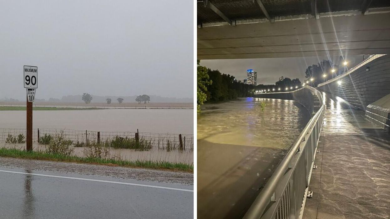
A series of Ontario storms left several roads underwater last night, causing one region to issue a state of emergency.
According to The Weather Network, a slow-moving system turned Wednesday into Southern Ontario's rainiest day of the year for many areas, with torrential rains flooding several regions throughout the day and making driving treacherous.
The downpour got so bad that Middlesex County was forced to issue a state of emergency after the storm left entire roads underwater, with regions receiving over 100 millimetres of rain in 24 hours.
"We are urging all residents of the County to stay at home until conditions improve. We will keep the public updated as more information becomes available," Warden Cathy Burghardt-Jesson said in the county's press release.
The Toronto and Region Conservation Authority also issued its own flood watch, warning residents to avoid all rivers, streams and shoreline areas.
"Rising water levels and flows will create hazardous conditions close to any river, stream or other water bodies in the GTA," the statement read.
TWN warns that "the flood threat will continue through the day on Thursday, as the system continues to bring additional rain showers and embedded thunderstorms before gradually moving eastwards and making its way out."
- Canada's Winter Forecast For 2021/2022 Dropped & It Looks COLD ... ›
- Ontario's Fall Forecast Just Dropped & It's Going To Get Extremely ... ›
- Fall Forecast For 2021 In Canada Is All Over The Place - Narcity ›
- Ontario's Weather Will Be Dangerously Rainy Today & Flood Watches Have Been Issued - Narcity ›