Ontario's Frost Was So Late This Year It Mimicked What 2060 Weather Could Look Like
The province got a glimpse of the future this year.
Ontario's frost advisories didn't come on time this year. In fact, they were so delayed that weather experts are comparing the results to time travel.
According to The Weather Network, this year's unusually warm fall season created conditions that mimic what average temperatures will be nearly 40 years from now.
"Thunder Bay's frost was so late that it mimics what climate models predict will be an average first frost in the year 2060," an excerpt from the report reads.
Conditions have been so unseasonal that the shores of James Bay, a body of water that is 900 kilometres north of Toronto, didn't record it first below freezing temperature of the fall season until Tuesday. The date is roughly a month later than usual.
However, if you're one of the many Ontarians that has been sitting around waiting for typical fall weather to arrive, you can take comfort in the fact that a cool down is supposed to begin this week.
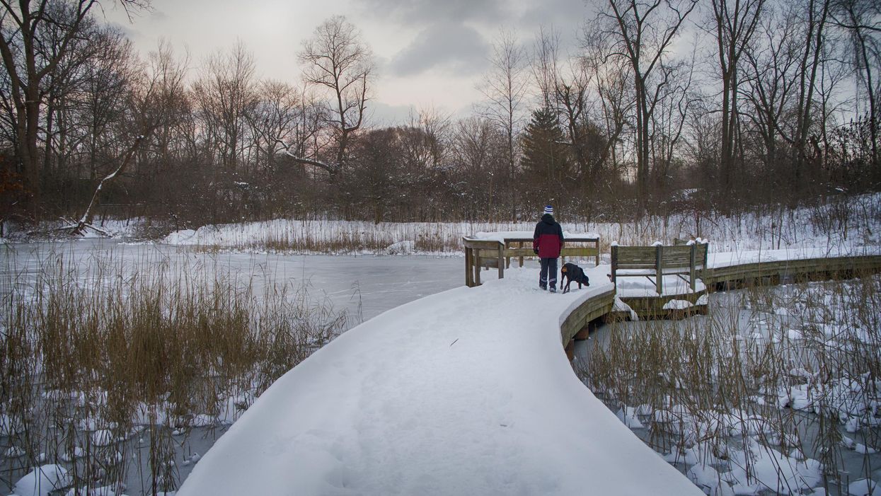
This article's cover image was used for illustrative purposes only.