Ontario's Weather Forecast Could Be Full Of Storms This Month Thanks To A 'Bombshell' Pattern
Mid-December might be one big mess.
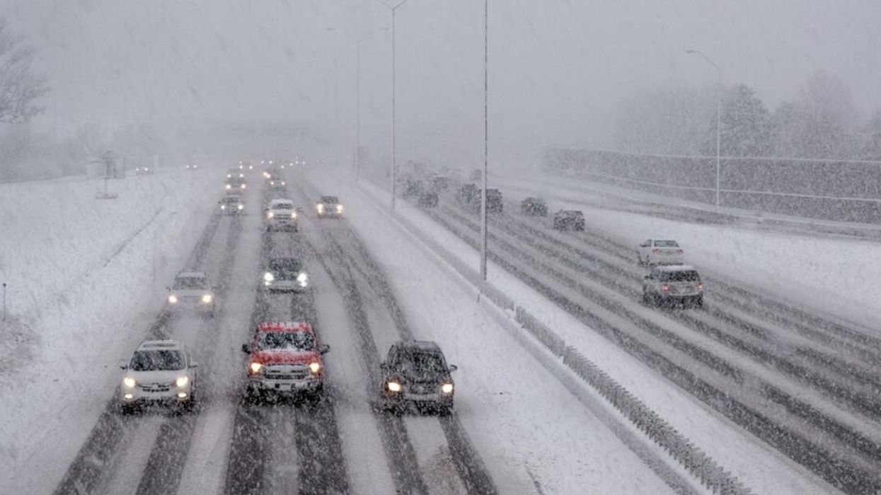
Wintry roads in Ontario.
The following weeks could prove troublesome for Ontario weather thanks to a build-up of high pressure over Greenland, which experts say could have "a big impact" on southern parts of the province, including Toronto.
According to The Weather Network (TWN), a "colossal ridge" currently looming over the island country could cause a variety of nasty conditions to hit Ontario by mid-December.
"The weather over Greenland hardly seems like it could affect places like Toronto, Montreal, and Halifax," the TWN report states. "But that critical link is one of the best examples of how our atmosphere is an interconnected wonder."
Nothing is for sure. However, if the scenario plays out as predicted, Ontarians will see several low-pressure systems swirl across the province in the following weeks, bringing a solid potential for wind, rain and wintry weather.
The "bombshell of a blocking pattern" is strong enough to make meteorologists confident that eastern parts of Canada will also be somewhat affected by it. Although, it's too early to tell precisely how much awful weather Ontario will receive.
"Precise weather forecasting is possible out to about a week in advance; after that point, the randomness of the atmosphere is too great to predict more than just general patterns," it adds.
In conclusion, residents will want to keep a close eye on their forecast in the coming weeks and be prepared to deal with less-than-optimal weather conditions as they get deeper into the holiday season.
Travel times should be carefully calculated, and bundling up will be a must for anyone hoping to get through December unscathed.
This article's cover image was used for illustrative purposes only.