Ontario's Weather Forecast Predicts Up To 50 cm Of Snow In Some Parts This Weekend & It'll Suck
So much for early spring. 🥺

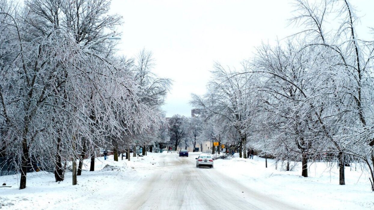
An Ontario street after a snowstorm
Ontario's weather forecast predicts a "long-duration snow event" that could significantly impact travel plans across the province through the weekend.
According to The Weather Network (TWN), the wintry system will arrive by St. Patrick's Day this Friday, with its effects expected to last through Saturday and cause potential delays for those returning from March break vacations.
On Tuesday, TWN reported that a "heavy swath" of snow could sweep across parts of northern and central Ontario as early as Thursday, bringing up to 30 centimetres of accumulation by Saturday.
However, special weather statements are now in effect for certain areas in the north, where it's expected that a substantial amount of snow, ranging from 40 to 50 centimetres, will accumulate.
The latter amount of accumulation is set to occur between Timmins and Sault Ste. Marie, according to a snowfall forecast image shared by TWN.

"Snow may quickly accumulate and visibility may be reduced to near zero at times, especially with any blowing snow. Significant travel delays and road closures may occur," Environment Canada warns.
Due to a combination of locally strong winds of 70 to 80 kilometres per hour and snow, regions along Lake Superior's north and eastern shores will experience whiteout conditions on roads and in communities until Friday.
Travellers should exercise extra caution during this period.
On the bright side, the bad news will be far from widespread.
TWN reports that in southern Ontario, typical spring weather will prevail, with soaking rain instead of snow expected to bring 10 to 20 millimetres of precipitation across the region from Thursday afternoon through Friday.
Northern cottage and eastern Ontario are also due to record smaller amounts of snow, with a switch to rain projected for later Friday evening.
As for what lies ahead, experts say residents should be prepared for cooler-than-seasonal temperatures to dominate the rest of March.
This article's cover image was used for illustrative purposes only.
- Ontario's Weather Forecast Predicts Signs Of An Early Spring & Here's When It's Warming Up ›
- Ontario's Spring Forecast Is Out & Here's What To Expect Over The Next Few Months ›
- Ontario's Weather Forecast Calls For 30 cm Of Snow & St. Patrick's Day Could Be A Bust ›
- Ontario's Weather Forecast Calls For 'Tropical Moisture' That Could Bring Up To 60 cm Of Snow - Narcity ›