BC's Weather Forecast Is Calling For A 'Messy Mix Of Precipitation' & Get Ready For More Snow
It's going to be a wet and snowy holiday!
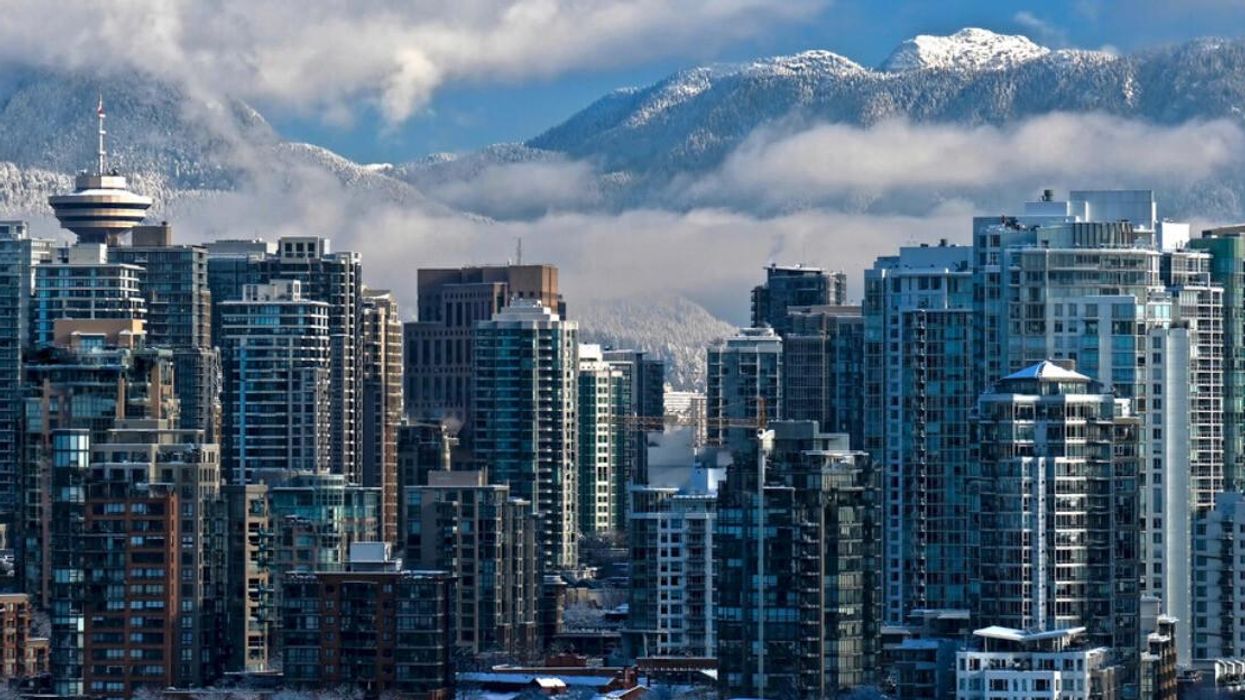
Snow in Vancouver.
The wild winter weather that's hit Vancouver lately isn't about to slow down because the B.C. weather forecast is calling for some messy stuff.
People in southern B.C. woke up today with snow covering their yards and cars, and The Weather Network (TWN) is warning people about the hazardous roads.
The snowfall on Monday night came after another snowfall event on Sunday.
"As of 4 am PT, 21 cm of snow was reported at Victoria International Airport and 20 cm of snow at Vancouver International Airport," said TWN meteorologist Kelly Sonnenburg.
"Snowfall rates of 3-4 cm an hour were falling through the pre-dawn hours of Tuesday across the South Coast," she added.
This round of snow is expected to last into Tuesday afternoon, and then there will be a small break for Wednesday.
Environment Canada said to "consider postponing non-essential travel until conditions improve," as "surfaces such as highways, roads, walkways and parking lots may become difficult to navigate due to accumulating snow."
Even though Wednesday will likely bring some relief, it's not time to put the shovel away yet.
"Rounds of precipitation move in for the end of the week and into the holiday weekend. A source of moisture originating in the south Pacific will lead to rising freezing levels across the South Coast and a messy mix of precipitation," TWN said.
"Forecasters are expecting snowfall to start late Thursday into Friday before transitioning into rain for the Lower Mainland. There is also a risk for freezing rain heading into the weekend," the forecast added.