Ontario's Weather Is About To Get Nasty With The Coldest Temperatures Of Winter So Far
Brace yourselves for a "snow machine," Ontario! 🥶❄️
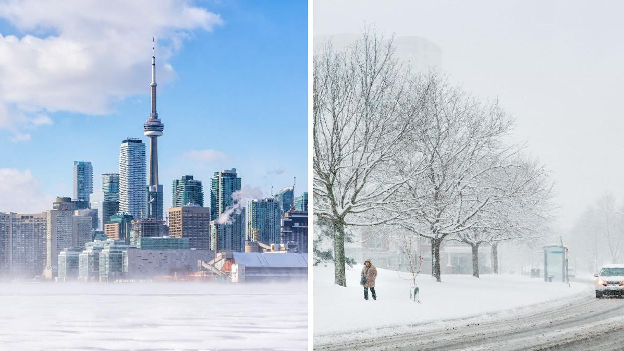
Wrap up, folks! It's going to be a chilly one. Ontario's weather forecast says conditions are about to get frigid as the coldest temperatures of the season so far are coming this week.
On Sunday, January 9, The Weather Network shared its predictions for the weather in Ontario and warned that Arctic air has its sights set on the province.
Over the next few days, TWN says the region is in for temperatures as low as the -30s, as well as strong winds, frosty fronts, snow squalls and even a "snow machine." Yikes!
The "coldest temperatures of the season so far" are headed for southern parts of the province, and the chill will be accompanied by gusty winds, too.
That's not all either, as a "lake-effect snow machine" is expected to come into motion on Sunday night and into Monday.
In northern Ontario, residents can expect "a strong cold front crossing the region," which will bring blustery winds of up to 70 km/h in some spots. On Monday and Tuesday, a cool, Arctic air mass will allow lake-effect snow squalls to develop.
Ontarians in southern parts of the province will need to pull out their warmest clothing from early next week, as some of the most frigid temperatures of the season will kick in as of Monday, January 10.
In Toronto, locals can expect conditions to drop as low as -20 C, but it will feel even colder thanks to the wind chill.
In Ottawa, highs could be only near the -20s by Tuesday, which is bad news for anybody already longing for the warmer months.
It's not all doom and gloom, though. TWN meteorologist Dr. Doug Gillham said the chilly conditions aren't here to stay, describing it as "a quick shot of frigid weather."
Temperatures are expected to rebound to near or above seasonal by mid-next week, and southern Ontario should feel above freezing by Thursday.
"We could see the pattern turn more active/unsettled around next weekend, but it is too early to have confidence in exact storm track and impacts," Gillham added.
Keep warm, Ontario!
This article's cover image was used for illustrative purposes only.
- A 'Weather Bomb' Slammed Atlantic Canada & Some Places Got ... ›
- Ontario's Weather Calls For Arctic Air & Some Spots Will Be Blasted ... ›
- Ontario's Weather Is Going To Be Wickedly Cold & Prepare For -45 C In Some Spots Today - Narcity ›
- Ontario's Snowstorm Could Be The Biggest In Years & Some Spots Are Getting Up To 50 cm - Narcity ›
- Ontario's Wild Snowstorm Is Raging RN & People Are Actually Shoveling The 401 (VIDEOS) - Narcity ›