Ontario's Weather Forecast Will Blast Some Spots With Up To 20 cm Of Snow This Week
Anybody want to build a snowman?
Halloween is over, and just like that, winter is upon us.
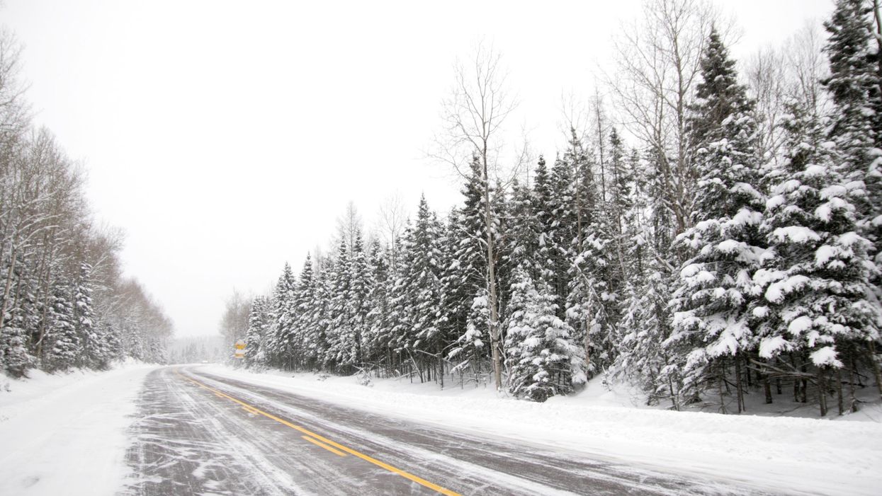
It's time to put away your pumpkins and bring out your snowball gear because some parts of Ontario may get up to 20 centimetres of snow this week, according to The Weather Network.
Arctic air is being shot through a "ridge" over Alberta and a "broad upper-level trough over Eastern Canada" into northern Ontario, which means winds and "lake-effect squalls" may be in-store for Monday.
The Weather Network predicts winds in the 40 to 60 km/h range for northern Ontario with snow on its way this week.
"The same Arctic air will then trickle south into central Ontario during the overnight hours on Monday with lake-effect showers beginning to transition to snow primarily east of Muskoka and the Dundalk Highlands," according to The Weather Network.
Ontario's snow belts east and southeast from the Great Lakes will have its "first measurable snowfall of the season," with "more persistent bands, especially across the higher terrain later on in the week."
Through Tuesday, parts of Ontario are expected to get up to 20 centimetres of snow near Thunder Bay, while most other areas near Parry Sound, North Bay, Timmins can expect snow in the 0.5 to three centimetres range.
Areas near Sault Ste. Marie and Kenora can expect a little more snow, with predictions ranging up to five centimetres of snow for Tuesday.
So if you're looking to head out this week, it might finally be time to pull out your winter jacket!
- Ontario's Winter Weather Forecast Was Just Revealed & It's Going ... ›
- Ontario's Winter Weather Could Be Some Of The Worst In 25 Years ... ›
- Ontario's Weather Forecast Will Be Full Of Snow & Cold For Some ... ›
- Toronto's Weather Is Going To Be Nice & Sunny This Weekend Before Buckets Of Rain Come - Narcity ›
- Ontario's Weather Is Getting Hit With 15 cm Of Snow In Some Spots & We're Already Over It - Narcity ›