Winter Storm Warnings Are In Effect Across Ontario & These Spots Could Get Up To 30 cm
Some areas will get hit with -40 wind chill! 🥶
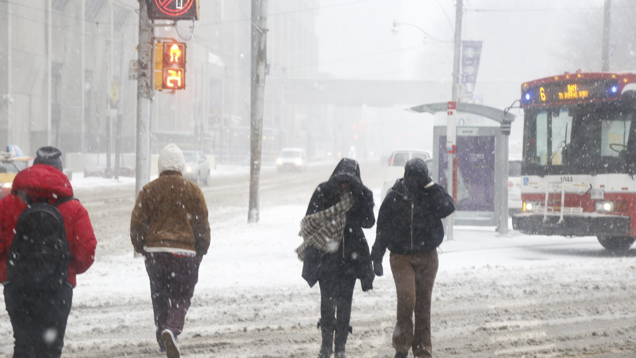
It's a cold day across Ontario and multiple winter weather advisories have been issued for parts of the province — so bundle up, and get your shovels out!
Environment Canada issued nine winter storm warnings across southern Ontario in cities like Hamilton, London, Simcoe, Sarnia, Windsor and the Niagara region.
While it's going to start off with some rainy weather, Environment Canada is calling for 20 to 30 centimetres of snowfall in these areas by Thursday night.
The weather warning encourages residents to "consider postponing non-essential travel until conditions improve."
Roads and sidewalks may be hard to get through due to the snow, and Environment Canada says the weather could have a major impact on rush hour traffic.
This is bound to be especially difficult since many areas are still dealing with the leftover snow from January's storm.
There are also snowfall warnings in effect for places like Waterloo and Dufferin-Innisfil.
These areas are set to see 15 to 25 centimetres of snowfall accumulated Thursday morning.
There are 11 extreme cold warnings currently issued across northern Ontario, with wind chill values of -40 for most areas.
Those living in Big Trout Lake and Webequie will see wind chill values near -45. But Fort Severn and Peawunuck will be the coldest, with wind chill values of -50 possible.
Everyone in these regions should bundle up and be mindful of frostbite.
"Watch for colour changes on fingers and toes, pain, numbness, a tingling sensation, or swelling. If present, move indoors and begin warming," the weather warning reads.
Environment Canada also issued several weather advisories for cities like Toronto and Barrie, which are set to get 10 to 20 centimetres of snow by Thursday.
Ottawa will see seven to 14 centimetres of snow, but with the added risk of freezing rain into the afternoon.
Stay warm out there!
- Ontario's 2022 Winter Forecast Dropped & It Will Be A 'Messy Mix Of ... ›
- Ontario's February Forecast Was Revealed & It's Going To Be A ... ›
- Ontario's Weather Forecast Calls For A Major 'Snow Threat' & Here's ... ›
- Ontario's Winter Storm Will Make Travel 'Hazardous' Today & School Buses Are Being Cancelled - Narcity ›