Ontario's February Forecast Was Revealed & It's Going To Be A Snowy Mess
Some spots will get 20 centimetres of snow this week.
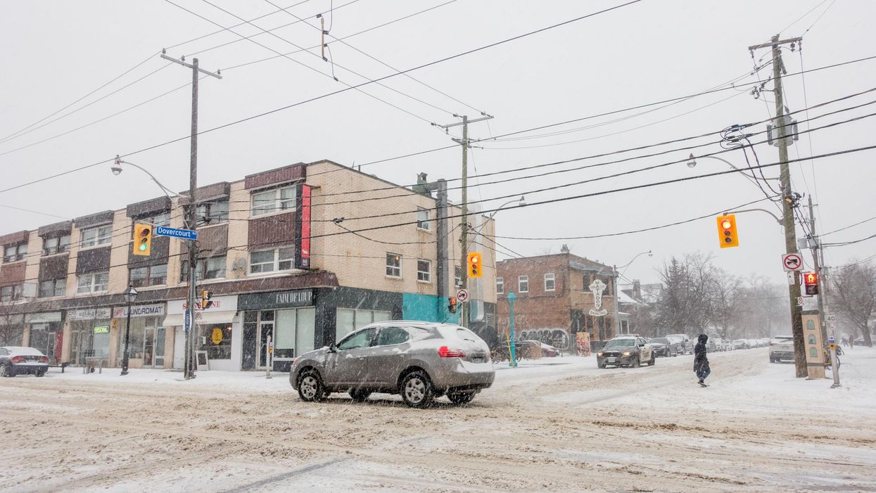
Well, it looks like Ontario's February forecast is going to follow last month's trend, bringing another round of milder patterns and chaotically heavy snow to the province.
According to The Weather Network (TWN), February will begin with a multi-day snowstorm across southern Ontario, with an incoming 10 to 20 centimetres of accumulation, which is threatening to bury cities that are still attempting to clean January's snowstorm.
Environment Canada issued special weather statements for several major cities on Tuesday, including Toronto, Waterloo, York and Kingston.
Residents are being warned of "reduced visibilities" due to the likelihood of blowing snow.
"While parts of the U.S. will see the concern for widespread ice, the most likely scenario for Canadians is long-duration snowfall, along an axis including Windsor, Toronto, Montreal, and parts of Atlantic Canada," said Michael Carter, TWN meteorologist. "Streets, sidewalks, cars, and roofs that can be cleared should be ahead of this week's additional accumulations."
The incoming snow will pile on top of last month's storm remnants, creating a risk of flooding, clogged storm drains, and flash freezing.
As for what the rest of the month will look like, Ontario will be a battleground for the warmer weather trying to move into eastern Canada and the arctic air shooting across central parts of the country.
TWN reports that the resulting flip-flop of temperature patterns will come close to "offsetting each other," leading to unstable weather this month thanks to active storm tracks.
"We expect that the focus of the coldest weather will slowly shift west, and a warmer pattern will eventually get established into southern Ontario and Quebec. However, the pattern change is not expected to just snap into place," the report states.
"More likely it will be a three-steps-forward, two-steps-back scenario," it adds.
- Ontario's Weather Will Be A Mess This Weekend Thanks To ... ›
- Ontario's Weather Forecast Calls For Bone-Chilling Cold ... - Toronto ›
- Ontario's Winter Weather Forecast Was Just Revealed ... - Toronto ›
- Winter Storm Warnings Are In Effect Across Ontario & These Spots Could Get Up To 30 cm - Narcity ›
- Ontario's Weather Forecast Predicts Signs Of An Early Spring & Here's When It's Warming Up - Narcity ›