Ontario's Weather Forecast Calls For Bone-Chilling Cold & 20 cm Of Snow In Some Areas Today
Extreme cold warnings are in effect across Ontario!
No matter where you are in Ontario, there's a good chance you'll have to brave freezing temperatures, snow or chaotic windchills on Wednesday, so bundle up or stay home.
Environment Canada is warning of extreme cold across the province and also has multiple special weather advisories in place for heavy snowfalls up to 25 centimetres in the north.
Across the southern half of the province, extreme cold weather warnings are in effect in Ottawa, Cornwall - Morrisburg and Prescott and Russell, with temperatures expected to dip to -27 C in the evening and wind chill values predicted to drop to -35 C.
The government agency is warning residents that "extreme cold puts everyone at risk" and to cover up before heading out to avoid developing frostbite, which can occur "within minutes on exposed skin, especially with wind chill."
In northern Ontario, the weather will be even more brutal, so if you plan on heading out, make sure you have a cup of something warm or at least the heat cranked up in your house, toasty warm for when you're back.
Environment Canada has placed three more extreme cold warnings across northern Ontario, with wind chills expected to reach up to -45 C.
In several areas, wind gusts are expected to reach from 70 to 80 km/h tonight and continue into Thursday morning.
Snow will also make a comeback, dumping around 15 to 25 centimetres on Wednesday and into Thursday in multiple areas, including Wawa - White River - Pukaskwa, Sault Ste. Marie - Superior East and Nipigon - Marathon - Superior North.
So if you're warm enough to avoid frostbite, it might be a great day for sledding.
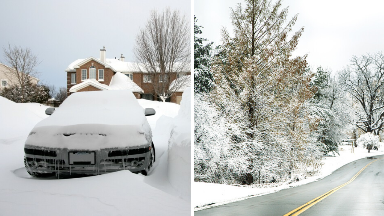
This article's cover image was used for illustrative purposes only.
- Doug Ford Is Driving Around In His Pickup Truck & Helping People ... ›
- 9 Times Ontarians Were So Canadian It Hurt In Today's Snowstorm ... ›
- A Toronto Man Walked 12 km To See His Girlfriend In A Blizzard ... ›
- Ontario's February Forecast Was Revealed & It's Going To Be A Snowy Mess - Narcity ›
- A Gigantic Snow Pile Is Forming In Toronto & It's Unreal (VIDEO) - Narcity ›
- GTA Roads Are Getting So Bad That Police Are Responding To Dozens Of Collisions - Narcity ›
- Schools Are Shutting Down & Cars Are In Ditches As More Snow Hits Parts Of Ontario - Narcity ›
- Ontario's Weather Is Predicting Even More Snow Today & Some Parts Could Get 2 cm An Hour - Narcity ›
- The Weather In Ontario Is About To Get Dangerous With 'Heavy' & 'Intense' Bursts Of Snow - Narcity ›
- Ontario's Weather Will Be A Mess This Weekend Thanks To Remnants Of Hurricane Pamela - Narcity ›