Ontario's Weather Is Predicting Even More Snow Today & Some Parts Could Get 2 cm An Hour
Freezing temperatures are also hitting the province.
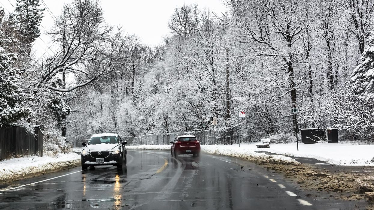
Another full winter storm isn't in the cards for Ontario's weather forecast on Friday, but that doesn't mean conditions will be any less annoying.
According to The Weather Network (TWN), the worst of the province's wintry weather will ease off on Friday, thanks to a system pushing through Atlantic Canada.
However, some "lingering snow" will continue in Niagara and parts of eastern Ontario, which could see snowfall rates of up to 2 centimetres an hour.
Several winter storm warnings were issued early Friday morning, however, they have ended as of mid-morning on Friday.
The heavy snow event will likely impact visibility, which will complicate travel along the QEW and 401 corridors.
"Adding insult to injury following this week's snowy conditions will be another surge of Arctic air, which will bring cold temperatures and frigid windchills on Saturday," the TWN says.
"Widespread daytime highs in the minus teens will feel even colder thanks to a breezy northwesterly flow. This could become challenging for additional snow removal, as 10-20+ cm of snow fell across the region this week," it adds.
If that wasn't bad enough, parts of northern Ontario could see wind chill values near -40, prompting extreme cold warnings for areas like Sault Ste. Marie and Timmins.
The freezing temperatures will ease up for a couple of days next week, but experts caution residents from getting too cozy, as things will likely be cold again by the end of the week.