Parts Of Ontario Are Under A Winter Storm Warning Today & These Spots Could Get Hit The Worst
The province could get 20 to 30 centimetres of snow! ❄️
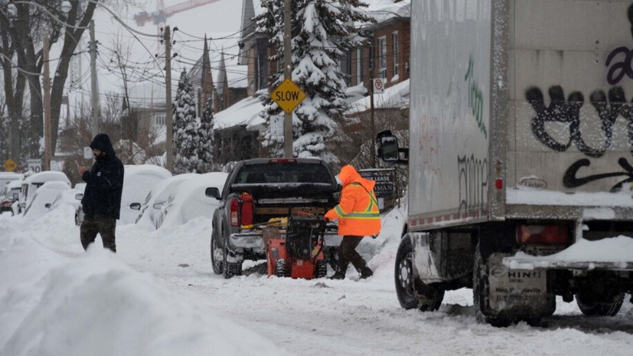
A snow blower in Ontario
Ontario's winter storm will pose a big threat to drivers on Friday, with regions expected to be overwhelmed by the wintry conditions during evening hours.
According to The Weather Network, a combo of gusty winds and heavy snow will create hazardous blizzard conditions for motorists into Saturday morning.
The system could leave up to 30 centimetres of accumulation in parts of the province by the weekend, with Toronto's weather looking particularly bad.
Environment Canada (EC) issued a winter storm warning for the city as well as several other regions during the early hours of Friday morning.
If you're looking to run errands, early Friday is the time to do it, with the significant change in conditions expected to occur between 7 p.m. to 10 p.m.
During this time, snowfall rates could reach up to 6 centimetres per hour, creating hazardous travel conditions.
"Surfaces such as highways, roads, walkways and parking lots may become difficult to navigate due to accumulating snow," EC warns.
TWN snowfall forecast reports that the following areas will be the most affected:
- Hamilton
- Toronto
- Cobourg
- Kingston
- Barrie
- Cornwall
"Prepare for quickly changing and deteriorating travel conditions. Visibility will be suddenly reduced to near zero at times in heavy snow and blowing snow," the agency adds.
The most intense snowfall and strongest winds are expected to persist throughout the night, with gusts reaching 60 to 70 kilometres per hour.
Conditions will taper off by Saturday morning but by then, southern Ontario will already be under a blanket of snow.
Thankfully, temperatures are expected to get a slight bump during the first weekend of March.
Daytime highs will approach the mid-single digits, allowing cleanup efforts to go off without a hitch. However, there will be a risk of black ice at night as temperature lows dip below freezing.
This article's cover image was used for illustrative purposes only.
- Ontario's Month-By-Month Winter Forecast Was Revealed & Here's When You'll Need A Shovel ›
- Canada's Winter Weather Forecast Just Dropped & It's Going To Be So Cold & Snowy As Heck ›
- Ontario's Weather Forecast Predicts Signs Of An Early Spring & Here's When It's Warming Up ›
- Ontario Got Hit By An Intense Snowstorm & There Was Even Thundersnow (PHOTOS & VIDEOS) - Narcity ›