Ontario's Weather Forecast Predicts 'Most Impactful' Snow Storm Of The Season This Weekend
The province could get up to 30 centimetres of snow!
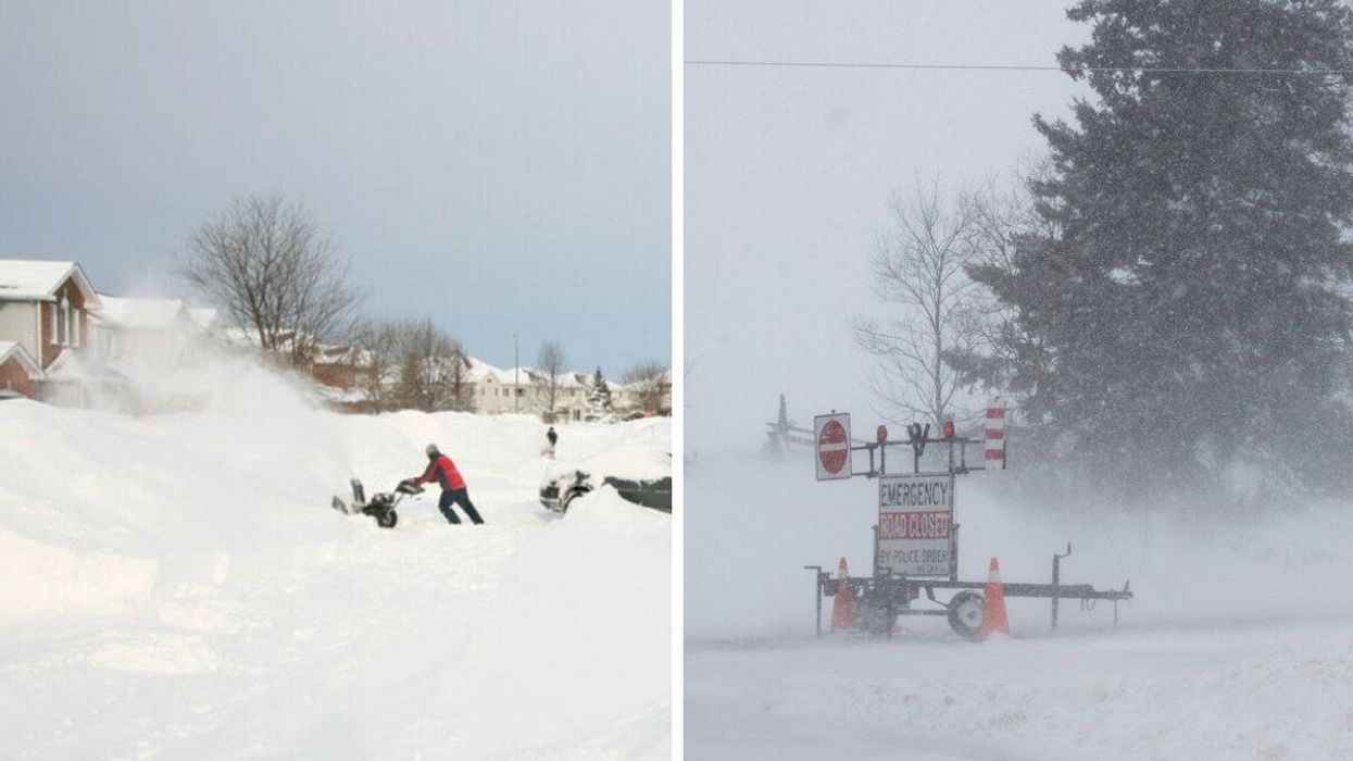
A man using a snow blower. Right: Road closures in Ontario
Ontario's weather forecast has the province on the verge of being hit by what could be the "most impactful" winter storm of the season.
According to The Weather Network (TWN), Friday will be threatened by a "widespread swath" of wintry conditions, with southern Ontario getting as much as 15 to 30 centimetres of snow by Saturday morning.
"Southern Ontarians should prepare now for significant impact and potential blizzard-like conditions," TWN reports.
The storm's progression will be similar to the ones that arrived earlier this week, so motorists should expect a smooth morning commute but a hazardous drive home on Friday evening.
Conditions are expected to worsen rapidly, with the most intense snowfall and strongest winds arriving overnight into early Saturday.
The storm could also bring powerful wind gusts, with some reaching up to 70 kilometres per hour.
The combination of heavy snowfall and strong winds will reduce drivers' visibility at times and be powerful enough to down trees, increasing the risk of power outages.
The storm will hit the Greater Toronto Area (GTA) particularly hard. However, a possible mixing of snow, freezing rain, and ice pellets could reduce the region's accumulation totals.
After the storm passes over the province, temperatures will increase a bit, with a warm-up expected during the first weekend of March.
Temperatures could reach mid-single digits during the day which will assist with cleanup operations. However, a dip below freezing overnight may create black ice.
Overall, Ontarians should be braced for a hectic end to the workweek and be prepared to utilize the weekend's warm-up to clean up the aftermath.
This article's cover image was used for illustrative purposes only.
- Ontario's Month-By-Month Winter Forecast Was Revealed & Here's When You'll Need A Shovel ›
- Canada's Winter Weather Forecast Just Dropped & It's Going To Be So Cold & Snowy As Heck ›
- Ontario's Winter Weather Forecast Says This Is When The Coldest & Snowiest Periods Will Be ›
- Ontario Got Hit By An Intense Snowstorm & There Was Even Thundersnow (PHOTOS & VIDEOS) - Narcity ›
- A Snow Storm Is Rolling Through Ontario Right Now & The Photos Look Like Winter Never Ended - Narcity ›