Ontario's Weather Forecast Warns Of Some Spots Being Hit With Freezing Rain This Week
Get your sturdiest umbrella ready!
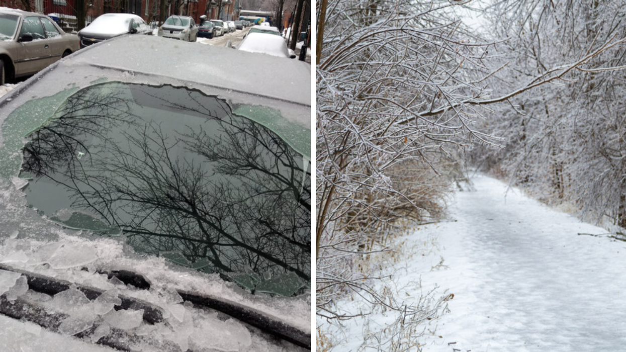
Some people love a good rainy day, but if you're venturing out this week, you can expect Ontario's weather to be icy.
Environment Canada has placed 12 special weather statements across the province cautioning of possible freezing rain Wednesday afternoon.
The impacted areas in northern Ontario will be the Greater Sudbury area, Kirkland Lake to Temiskaming Shores and Temagami, and North Bay to West Nipissing.
Southern Ontario is predicted to be hit in Algonquin, Bancroft to Bon Echo Park, Burk's Falls to Bayfield Inlet, Ottawa, Cornwall to Morrisburg, Haliburton, Prescott and Russell, Renfrew to Pembroke to Barry's Bay and Smith Falls to Lanark and Sharbot Lake.
Environment Canada says residents can expect rain to start up on Wednesday afternoon, but "temperatures will be close to the freezing mark and as a result there is the potential for freezing rain."
"Temperatures will warm through the afternoon and early evening, bringing an end to the risk of freezing rain."
The Quebec border will have the greatest "risk," according to Environment Canada, and "freezing rain warnings may be issued as this event draws nearer."
Ontario has been no stranger to wild weather this month. Last weekend, a wind storm ripped through southern Ontario with wind gusts ranging from 70 to 100 km/h on December 11, according to The Weather Network.
The wind storm left plenty of damage in its wake, with broken and falling trees, as well as power outages across the province.
According to Hydro One, over 490,000 of their customers were impacted by power outages caused by Saturday night's storm.